Squam Lake
Holderness, Sandwich and
Center Harbor, NH
6791 acres
99’ maximum depth
24’ average depth
Squam is nine miles long and almost as wide, and it’s loaded with remote islands and secret coves like Dog Cove, where a portion of the movie ‘On Golden Pond’ was filmed. There are so many coves and islands that you can only see a small portion of the lake at any one time. Much of Squam's shoreline belongs to conservation groups and has the look and feel of wilderness. Since all the islands are similar in appearance, heavily forested with pine trees, skating on Squam can be a navigational nightmare if you don't have a lake chart. The chart on the right will help you out in a pinch, but for a more detailed chart go to the Squam Lakes Association, or the Squam Lakes Science Center, or one of the boat yards in Holderness.
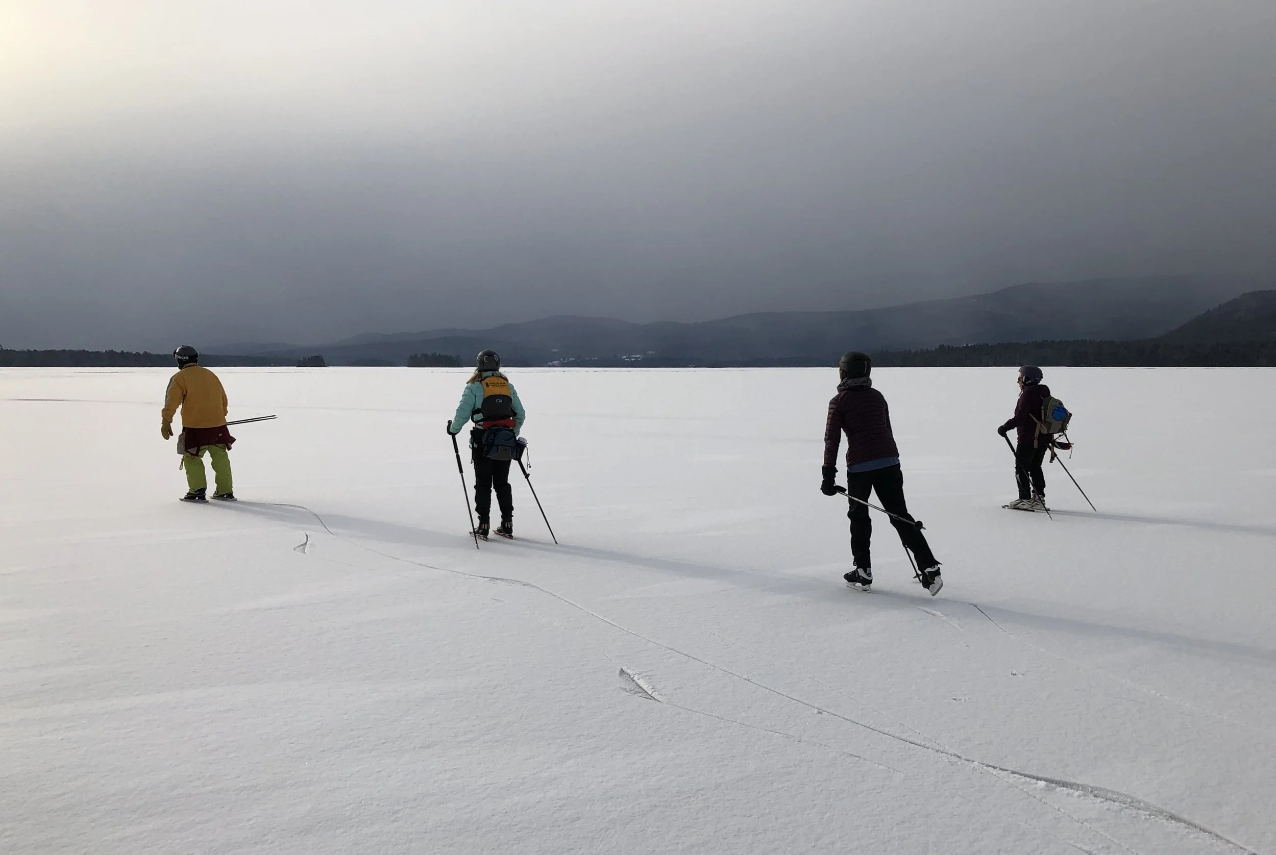
Most Nordic skaters, kiters and wingsailors launch from the so-called ‘grass strip’ on Route 3, one mile east of Holderness village and half a mile west of the Squam Lakes Association headquarters. (Needless to say, in the winter there’s no grass in sight. but to us it will always be the grass strip.) If the ice doesn’t appear safe at the grass strip, there’s an alternative launch spot at the head of Dog Cove on Route 25-B. Dog Cove is usually the first part of the lake to freeze.
One of the delights of Squam is its mountain views. The loons may have migrated south for the winter, but the scenery remains. Sandwich Bay is dominated by Eagle Cliff towering over its east flank. As you get farther from shore, the 4000-foot peaks of the Sandwich Range slowly rise up from behind the nearby hills. This range includes popular hiking destinations like Sandwich Dome, Whiteface, Passaconaway, Paugus and Chororua. From the middle of the lake you can admire East and West Rattlesnake, a symmetric pair of knobby hills rising dramatically from the lakeshore and backed by the rugged 2000-foot flat-topped ridge of the Squam Range.
In January 1993, before anyone had heard of Nordic Skates, I skated several round trips from Sandwich to Holderness and back on my hockey skates, passing through the islands along the way. The round-trip distance is just short of 20 miles. There are several possible routes through the islands, but here is the route I followed: Starting in Sandwich Bay in the lake's northeast corner, I skated west along the north shore as far as Five Finger Point. I turned left and crossed the open lake, passing close by Loon Island, and slipped through the narrow passage between Long Island on my left, and Utopia and Merrill Islands on my right. Then I skated over to Mooney Point and followed the north shore of the lake all the way to Cotton Cove at its west end. I retraced the same route back to my starting point in Sandwich Bay. The last time I skated on Squam Lake, it was in a snowstorm, and the snow was several inches deep by the time I got off the ice. I love to watch the snow fly over the tops of my boots as I glide along. I didn’t see any other skaters that day.
The principal danger on a large lake is from the pressure ridges that form at the joints between independently-moving ice plates. Pressure ridges are created by expansion and contraction of the ice in response to temperature changes, and the larger the lake, the wider and more dangerous the ridges will be. To get all the way across Squam Lake, I had to cross one pressure ridge that traversed the lake from the tip of Hoag Island on the north shore, across to Brown Point on the east shore. The ice was heaved up several inches out of the water, so it would not support my weight -- and the trapped air below acted as insulation, preventing the water underneath from freezing. Fortunately, I found one spot where the ridge had collapsed, and the new ice that had formed was strong enough to cross.
Copyright © 1998-2024 by Jamie Hess. All rights reserved.