Lake Champlain
Vermont, New York & Québec
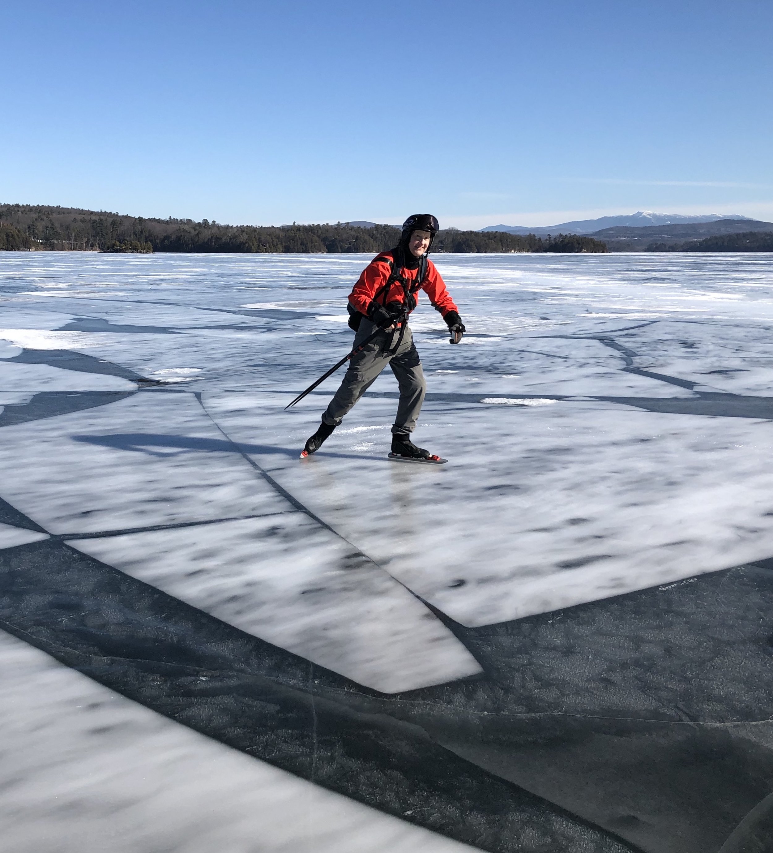
107-mile-long Lake Champlain is called "America's Sixth Great Lake" and its shoreline "New England's west coast." It's truly huge. Skating down the very middle of the lake, you see nothing but ice all the way to the horizon. You can look north into Canada or south toward Albany. To the west lie the high peaks of New York's Adirondacks, and to the east are Vermont's Green Mountains including snowcapped Mt. Mansfield.
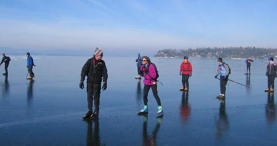
Our tour started near the island village of South Hero, Vermont. Once offshore, we passed the ice-encrusted rock outcrop known as Carlton's Prize and somewhat larger Stave Island, then headed for the middle of the lake, passing Colchester Reef and Colchester Shoal. Our route took us past the lakeshore metropolis of Burlington, Vermont, across to the New York shore at Schuyler Island, then southeast to the Four Brothers, four small undeveloped islands just west of Shelburne, before returning to South Hero. Our round-trip distance was just over 30 miles.
Visible from the lake are the highest mountain in New York, Mount Marcy (5300 feet), as well as the highest mountain in Vermont, Mount Mansfield (4300 feet).
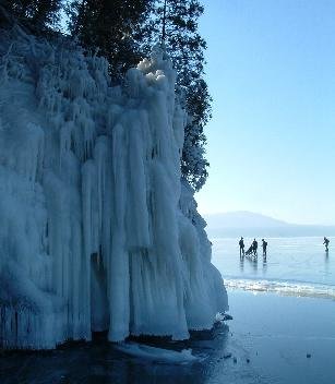
Photos, bottom left: Skaters pass icicle formations at the tip of Garden Island,
which juts into Lake Champlain from Converse Bay in Charlotte, Vermont.
Bottom center: The Burlington Free Press's Weekend Magazine features Nick van der Kloot's photo of our 2005 "Skating to New York" tour from Converse Bay to Split Rock Mountain.
Bottom right: Nick's original photo.
329,000 acres
64’ average depth
400’ maximum depth
Elevation 95 feet